Ski tour information
- Mar 27
- 3 min read
Updated: Mar 28
Skida is specialized for ski touring, and our goal is to provide all necessary information to make better and safer decissions in one place. Easy accessible, easy to understand and high quality. Our digital model for route analysis mixed with avalanche warnings, weather information, observations and an enourmous ski touring database are some of the components used to give you the best insights possible. Adding a 3D model, avalanche maps and an easy to use interface should make all your dreams come through.
There is a lot of information to show, and here is an example of how we present a route for ski touring

Top section gives you name and avalanche area, distance from your location and the rating of the route. At the top right you have the menu to download offline, share, bookmark or save to collection.
Elevation profile
Our elevation model is interactive, holding and swiping on it shows the aspect, elevation, steepness and distance to the point, and it's also shown in the map.
Aspect and steepness
The "Aspect pizza" and max steepness indicator give you a quick idea of how the route needs to be assessed for avalanche problems.
Ski tour data
The route data makes it easier to understand if this route is a match for the group. distance, total elevation and time estimates are important to make sure everybody can handle the tour. Also take the time into account to make sure you have enought daylight for the return.
Avalanche forecast
Skida is one of very few who provide historical avlanche forecasts. For each route we give you easy access to danger level and avalanche problems for the last week and any upcoming forecasts. Historical forecasts may come in handy to easier understand the current snowpack. The display and visual presentation of the avalanche forecast varies between regions.
Current avalanche problems are shown with apsect and elevation bands together with the aspect and elevation band of the current route.
To dig deeper into the avalanche bulletin, go to the full forecast bellow the avalanche problems.
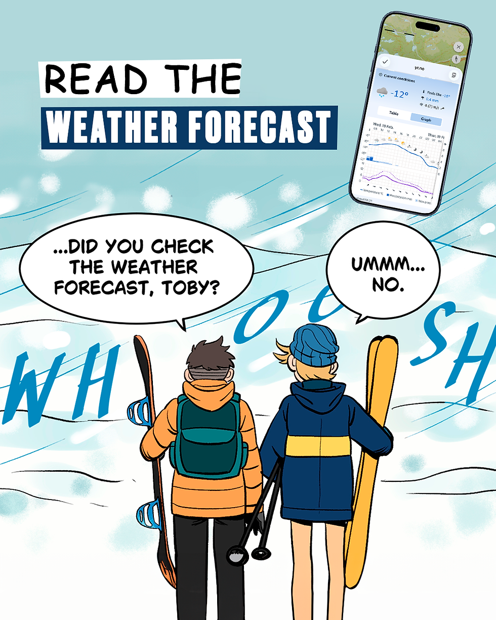
Weather
Current top and bottom weather are shown for the GPS locations. Expand to hourly view to see temperature, cloud coverage, perticipation and wind for evey hour for the coming days. Or open the full forecast in your browser from yr.no.
Observations
To get easy access to and an overview of the nearby conditions, we show you observations for the last three days. The observation carousel contains a shortcut to add new observations for this route. Very useful for the rest of the community.
Driving directions
Most of our published routes start at, or near a parkinglot, but some may start at a cabin or as a second segment in a multi segment tour. The driving directions takes you to the GPS location of the starting point of the route - this may not be the best option, so please assess the driving route, and check the map for parking options before heading out. Be sure to respect local laws and regulations. Be nice and often asking the land owner soves a lot of problems. And remember leaving bottle of vine for the land owner is better than toilet paper in the bushes!
Route source
We collect routes from trusted sources and ourselves. For each route you can see where it comes from. Some routes have authors, and others are part of large datasets of curated routes.
Always a plan B!
Having a good alternativ to the route planned is important. We make it a bit easier by showing you the nearby routes of the same or lower rating. This way it's quick to find an alternative whent the trail head is crowded or you get a sudden weather change.
FEED US!
Our routes can always be improved and there's always some information to be added giving the next ski tourer a better experience or a safer ride. This simple form gives you the oportunity to give input on a specific route. We evaluate and adjust routes based on this input from time to time.